

Edit the geodata and metadata of your digital images
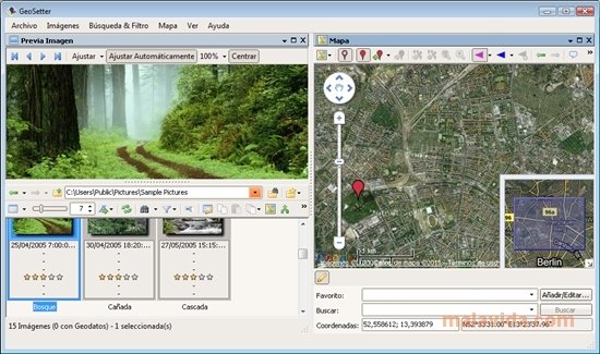
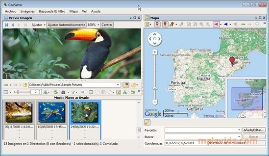
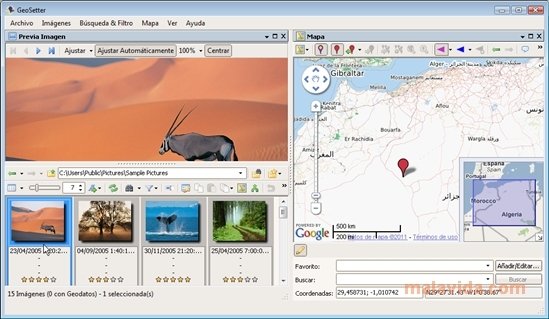
Modifying the data of your image files is possible thanks to programs like GeoSetter. With it, you will be able to modify the geographic position data as well as other metadata like IPTC, XMP or EXIF on digital photographs. With the help of Google Maps, you will be able to determine the location of all your photographs.
Program to edit the metadata and geodata of images
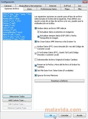
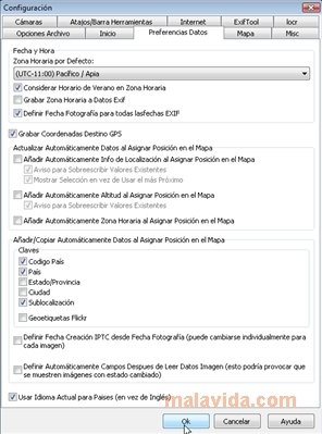
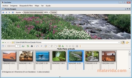
The software is compatible with Windows XP or later OS and supports a large number of RAW cameras as well as JPEG and TIFF format images. Canon, Nikon, Konica, Minolta, Pentax, Olympus, and Sony are some of the brands that are compatible with this software. It also includes the ExifTool application, which allows us to write data on the image files. It will be possible to edit the data the photographs were taken or to edit the IPTC data.
Now you will be able to see the geographic coordinates and the address by using Google Maps, as long as you have an Internet connection. It that is so, you will be able to automatically fill in the IPTC field and the altitude values.
The software is available in quite a few languages, thus making it good for nearly anybody, so why not download it. Easily edit the geodata of your photographs thanks to GeoSetter.
 Héctor Hernández
As a technology journalist with over 12 years of experience in the world of software and apps, I have had the opportunity to try all kinds of devices and operating systems over the years. I have done from software or mobile applications reviews...

Scott McLure